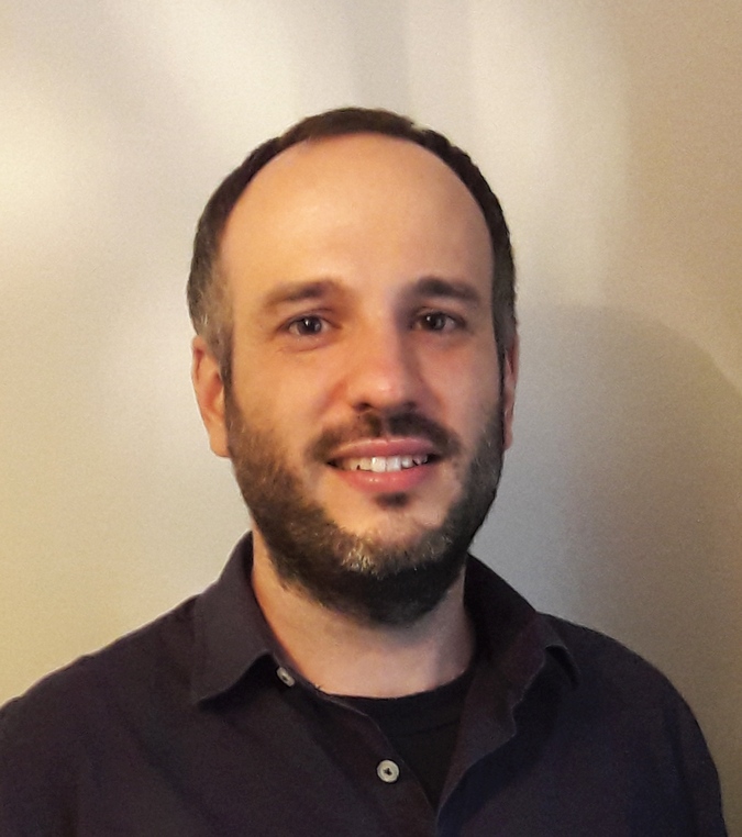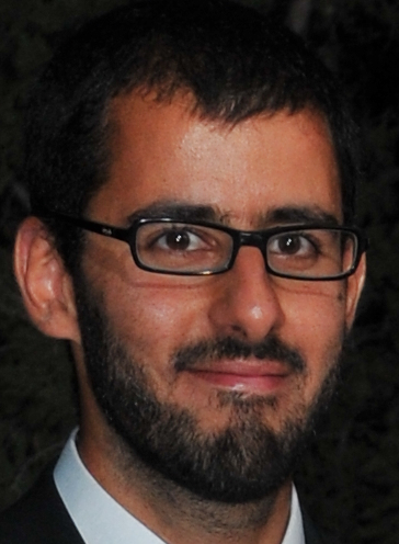
Dr. Dimitrios Alexakis is Assistant Researcher (Researcher C’) at the Laboratory of Geophysical – Satellite Remote Sensing and Archaeoenvironment, Institute for Mediterranean Studies, Foundation for Researcher and Technology Hellas (FORTH). His scientific interests involve applications of Remote Sensing (Satellite, UAV, Field Spectroscopy, SAR, Aerial) and GIS in the fields of Geomorphology, Landscape Ecology, Natural Hazards, Landscape archaeology, Marine Sciences, Hydrology, Spatial planning and Environmental monitoring. Dr. Alexakis has published 43 peer reviewed papers in high impact scientific journals, 6 book chapters and more than 85 papers in international and national (peer-reviewed) conference proceedings. He has organized and participated as instructor in international workshops (RESTECH, Marie Curie etc.) and has acted as member of the scientific/ organizing committee of several international conferences. He is acting as reviewer for 27 scientific journals and he is member of the editorial boards of “Remote Sensing MDPI” (Environmental Remote Sensing section) and “Open Geosciences” journals. He has been involved as coordinator or partner in more than 40 European and National funded research projects (funded by Horizon 2020, Life+, FP7 Research, INTERREG III, Thales, Cyprus Research Promotion Foundation, ARISTEIA, ELIDEK etc).

Dr. Anastasios Roussos is a Principal Researcher (Associate Professor level) at the Institute of Computer Science (ICS) of the Foundation for Research and Technology – Hellas (FORTH), Crete, Greece. He is also an Honorary Senior Lecturer in the College of Engineering, Maths and Physical Sciences, University of Exeter, UK and a Faculty Member of the Interdisciplinary Graduate Programme in the BRAIN and MIND sciences, University of Crete, Greece. Prior to his current positions, he was a Lecturer (equivalent to Assistant Professor) in Computer Science at the University of Exeter, UK (2017-2019) and a Fellow of the Alan Turing Institute, UK (2018-2019). Before these positions, he was a postdoctoral researcher at Imperial College London (2014-2017), University College London (UCL) (2013-2014) and Queen Mary, University of London (2010-2013). He has studied Electrical and Computer Engineering (PhD 2010, Dipl-Ing 2005) at the National Technical University of Athens (NTUA), Greece. Dr. Roussos has published 8 journal articles in top-tier international journals of Computer Vision, Machine Learning and Imaging Sciences (e.g. TPAMI, IJCV, JMLR) and 22 papers in peer-reviewed international conferences, including the top conferences of Computer Vision, Pattern Recognition and Augmented Reality (CVPR, ICCV, ISMAR). His work on anisotropic diffusion-projection PDEs for image interpolation has received several awards, including the Best Student Paper Award of the International Conference on Scale Space and Variational Methods in Computer Vision. He has more than 1,200 citations on his articles with an h-index of 17 and an i10-index of 21 (source: Google Scholar, November 2020).

Dr. Evangelos Alevizos is a post-doctoral researcher at the Laboratory of Geophysical – Satellite Remote Sensing and Archaeoenvironment, Institute for Mediterranean Studies, Foundation for Researcher and Technology Hellas (FORTH) and he is an Oceanographer with seafloor mapping expertise. He has graduated from the Department of Oceanography and Marine Biosciences (University of the Aegean, Greece, 2008) and he received his PhD in Physical Geography from the Christian Albrechts Universität zu Kiel (Germany, 2017). During his doctoral studies, he was working at GEOMAR Helmholtz Centre for Ocean Research (Kiel, Germany, 2013-1017). He has been working on a wide range of seafloor mapping and imaging techniques, involving hydro-acoustic (multi-beam echo-sounders, side-scan sonars) and optical (drone, satellite) datasets. He has broad experience with GIS and image analysis methodologies such as supervised classification, Object-Based Image Analysis, geostatistics and geomorphology. Over the last years, he has been involved in several research and industry-led projects from coastal zone monitoring to deep-sea habitat mapping and he has developed various geospatial tools (e.g.: Matlab scripts, GIS toolsets) and workflows for sediment characterization using acoustic backscatter data, benthic habitat classification using multivariate datasets and satellite-derived bathymetry. His latest research work focuses on fusing aerial/satellite imagery and unmanned surface vehicle observations for mapping shallow coastal bathymetry. Evangelos is also a visiting researcher at the National Oceanography Centre in Southampton (UK).

Dr. Alexandros Makris is currently an associate researcher at FORTH. From 2010 to 2014 he was an associate researcher at INRIA Grenoble – Rhone-Alpes. He obtained his Ph.D. in Computer Science from the Department of Informatics of the University of Athens in 2010. He holds a Diploma in Electrical and Computer Engineering from the National Technical University of Athens. His main research interests are computer vision, perception for robotics, probabilistic models, intelligent vehicles, and remote sensing. He participated in several national (Semveillance, Polymnia, Costa Brava) and european projects (Robohow, Co4robots). He has open collaborations as a research advisor with the Hellenic Centre for Marine Research (HCMR) and the Hellenic Mediterranean University (HMU).
